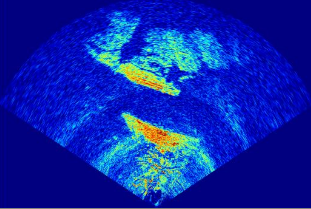
The ultra-long-range imaging slope monitoring radar employs multi-channel MIMO imaging technology and differential interferometry to achieve wide-area coverage, high-resolution imaging, and sub-millimeter deformation measurement accuracy. This product meets the deformation monitoring needs of large areas such as highway slopes, natural slopes, and open-pit coal mine slopes, enabling non-contact, point-line-surface combined continuous micro-deformation monitoring.
Product Features
1. The radar deformation monitoring accuracy can reach 0.1mm , and the fastest refresh cycle can be 10s ;
2. The radar is lightweight, small in size, and easy to deploy;
3. The radar has non-contact measurement capabilities and is easy and quick to install;
4. It can work around the clock and in all weather conditions, unaffected by natural conditions such as sunlight, dust, wind, rain, snow, and fog, and has atmospheric compensation function;
5. The maximum detection range can reach 1200m , with a lateral coverage of about 200m at 100m and a lateral coverage of about 500~600m at the farthest point , and a maximum coverage area of over 400,000 square meters.
Technical Parameters
- Data refresh cycle: 10 seconds (configurable)
- Deformation monitoring accuracy ≤ 0.1mm
- Maximum detection distance : 1200m
- FOV Horizontal Beamwidth 90 °
- Pitch beamwidth 30 °
- Interface RJ45 10M/100M/1000M adaptive Ethernet
- Average power consumption ≤30W
- Power supply voltage DC 24V (16~32V)
- Operating temperature: -40℃~85℃
- Dimensions (mm): 301×205×57.7
- Weight < 3kg
- Protection rating IP67